Slowly drying out, and chilly over the weekend
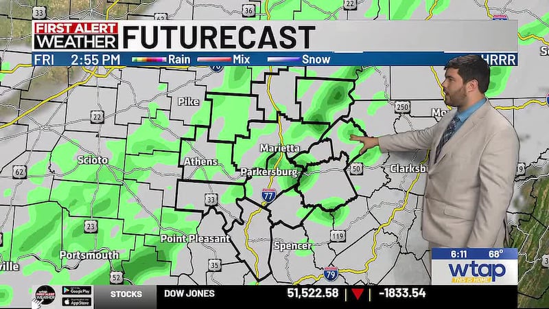
Overall dry weather coming back to the MOV over the weekend
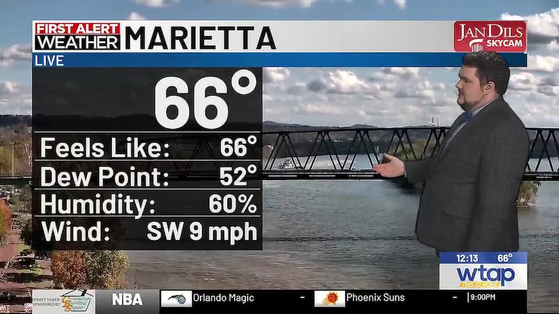
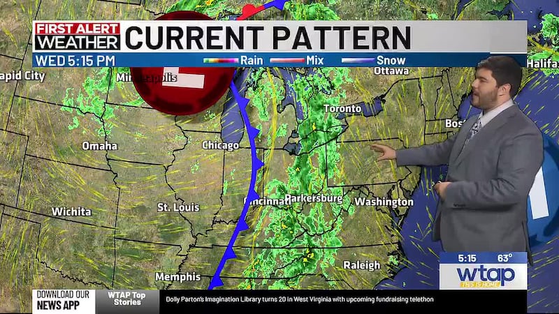
PARKERSBURG, W.Va. (WTAP) - Chilly, fall-like weather is back in the Mid-Ohio Valley, and it will be sticking around as we head deeper into November.
If you plan on attending a football game tonight, it will be chilly, as temperatures dive into the 40s through most of the night. While we could see the upper 30s, overnight cloud cover should keep some relative heat trapped close to the ground.
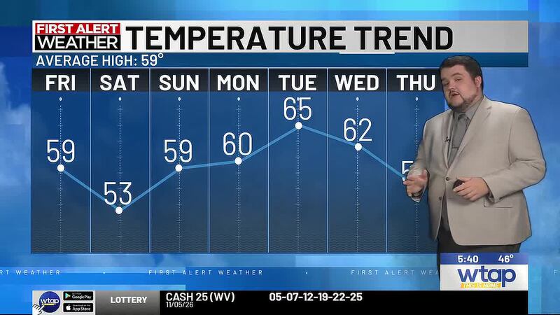
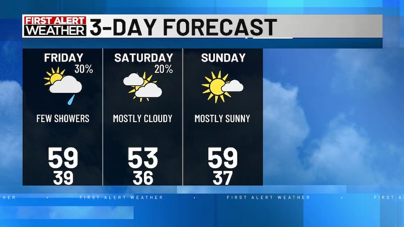
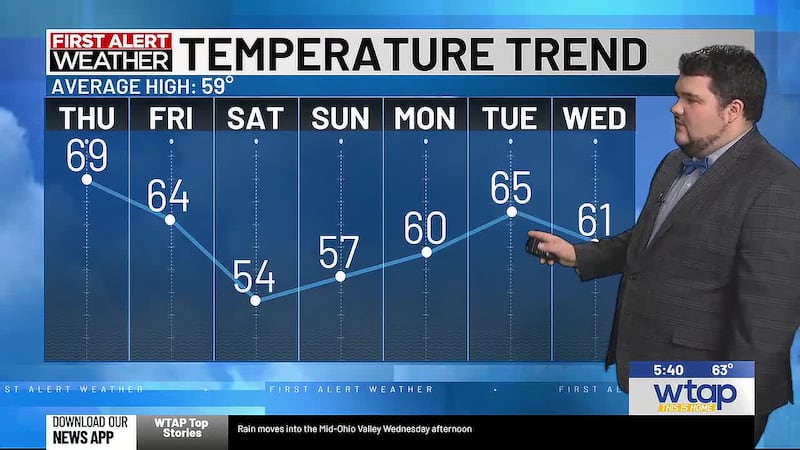
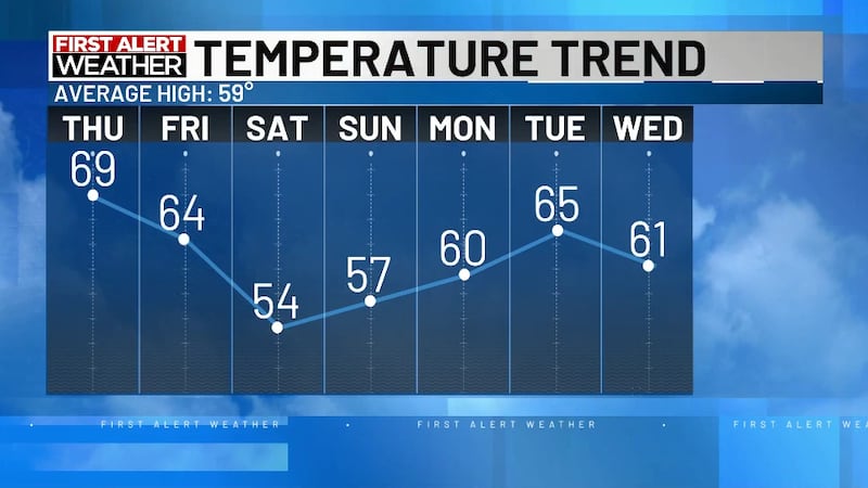
Saturday will be the coldest day of the week, with temperatures only getting to the mid-50s at most. Clouds will stick around for most of the day, and we may still see a shower or two in the morning/early afternoon.
Sunshine will return Sunday into Monday, and this will help bring temperatures back into the 60s heading into next week. They will peak on Tuesday around the mid-60s, ahead of the next stronger cold front that will sweep through the MOV, sending temperatures plummeting during the second half of the week.
Overall next week will stay dry, and overnight lows will stay around the mid-upper 30s. So while morning frost is expected, we’re not seeing many signals for a proper first freeze in the Mid-Ohio Valley yet.
Copyright 2026 WTAP. All rights reserved.