Dry for Wednesday with rain moving in Wednesday night
Our next round of rain is trending a little faster for now
PARKERSBURG, W.Va. (WTAP) - The Mid-Ohio Valley has one more day of pleasantly warm weather before rain and a strong cold front brings us to a late fall pattern through early next week.
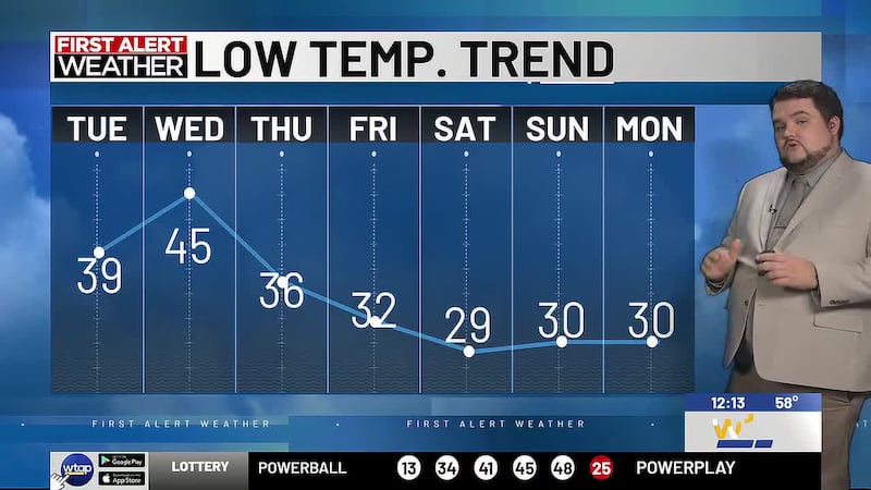
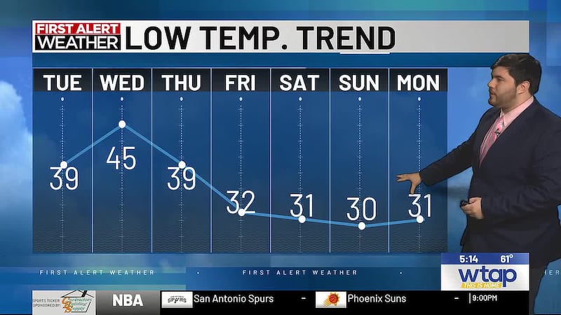
Overnight tonight will stay business as usual, with clear skies, calm winds and temperatures dropping into the low 40s, possibly the upper 30s.
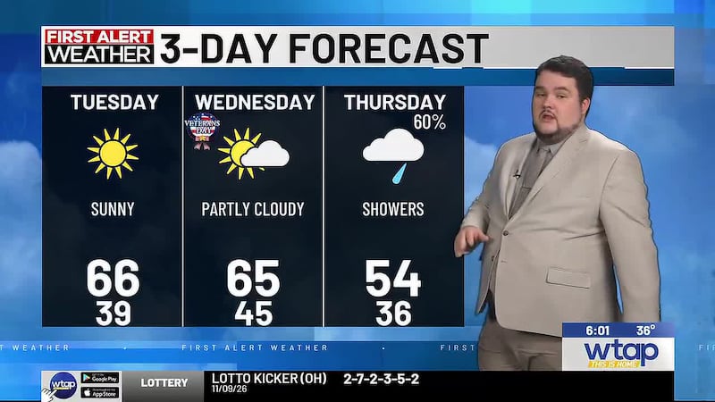
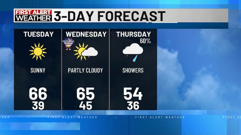
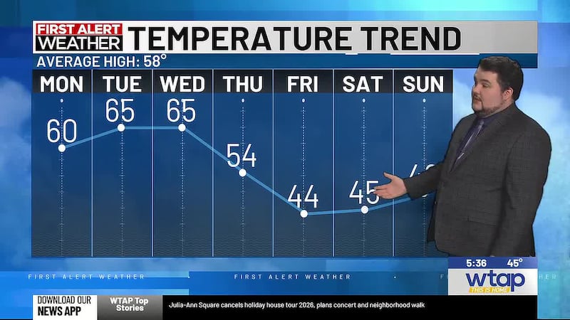
Wednesday will stay dry and pleasant, but clouds will be increasing throughout the day We will see the mid 60s, but it will be the last day we are that warm for a while.
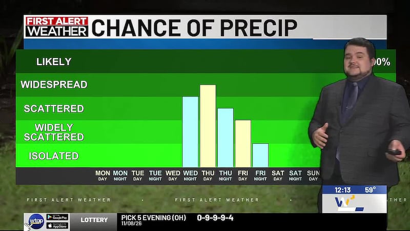
Rain associated with a developed low-pressure system will arrive in the MOV late Wednesday night and Thursday morning. We aren’t looking at a lot of rain, with most of the region getting up to 0.25″ of rain.
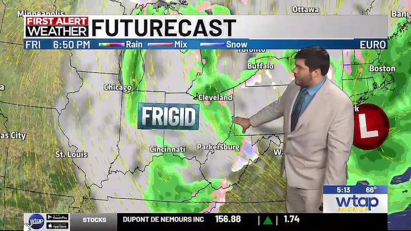
The cold front associated with the storm will be on the stronger side and will bring some breezy winds with it for the day. Most importantly, cold air will be blown into the region, keeping our high on Thursday in the mid-50s.
While some showers are possible Friday morning, it should remain rain, and by the afternoon we should be drier before the freezing temperatures arrive Friday night. Any snow will be limited to the higher elevations of the mountains.
Freezing conditions are expected every night starting Friday, and lasting through each of the next several nights, while high temperatures only get back to the low 50s.
Copyright 2026 WTAP. All rights reserved.