Breezy first day of spring
Very dry air will elevate our fire risk today
PARKERSBURG, W.Va. (WTAP) - It is officially the first day of spring! Even though the equinox isn’t until 11:06 p.m. tonight. It is going to be a chilly start to the day as temperatures across the Mid-Ohio Valley are in the upper 20s to lower 30s. Of course, just like yesterday, we will have to contend with the wind chill thanks to the winds. That will be in the 20s this morning and then the 30s by noon. Our afternoon high today will be slightly warmer with low 50s expected, but the wind chill will continue to stay in the 40s, even for the evening commute. This is all thanks to the breezy weather in store for today.
Winds are expected to start off on the lighter side this morning, mainly around 5 to 10 mph. That will pick up this afternoon to around 10 to 20 mph and there will be the potential for some gusts up to 30 mph. This will make today still feel a bit chilly from time to time, but it will also elevate our fire risk today. With it being March, we are in the middle of the spring fire season. Across both Ohio and West Virginia, the seasonal burn ban remains in place. The reason for today’s elevated fire risk is thanks to the very dry air across the Mid-Ohio Valley. We are going to be looking at dew point values in the teens and 20s. This will put our relative humidity down into the 20% range this afternoon. So, be mindful if you are outside with any machinery that can create sparks. Our fire risk will go away later this evening as our relative humidity will improve and we see our dew point values also increase overnight tonight.
Wednesday will be close to the same as today. Temperatures will not get as cold in the morning with lows in the upper 30s to low 40s. The afternoon will also be slightly warmer with highs into the mid-50s. Unfortunately, we will see another day of breezy conditions. Winds will be around 5 to 10 mph in the morning and then pick up to 15 to 20 mph in the afternoon. Gusts up to 30 mph will be possible once again. An elevated fire risk will still be with us Wednesday afternoon, but relative humidity will be up to the 30% range thanks to dew point staying in the mid-20s during the afternoon. This is a bit of an improvement, but still, something to be mindful of once again.
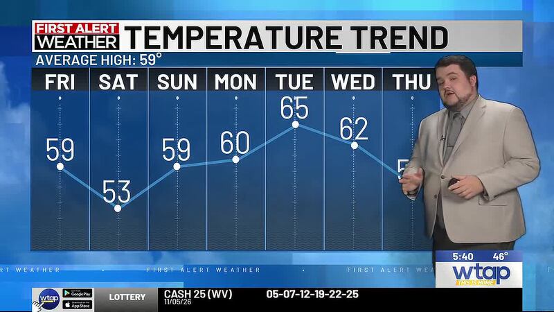
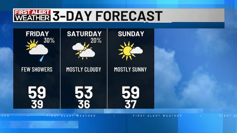
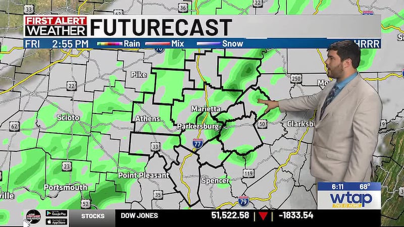
A clipper system will push a cold front through the Mid-Ohio Valley Wednesday night and bring in more cold and dry air back into the region. This will dip temperatures into the lower 20s Wednesday night and lead to a freeze that will damage any early blooming plants outside. In fact, we will see another night with temperatures into the middle 20s. This will be for Thursday night and into Friday morning. We will continue to stay dry through most of the week and then we will see the chance of rain return by Friday afternoon. Temperatures will be holding onto the 50s by Friday and into the upcoming weekend.
Copyright 2024 WTAP. All rights reserved.